(005-afbeelding-plattegrond-1)
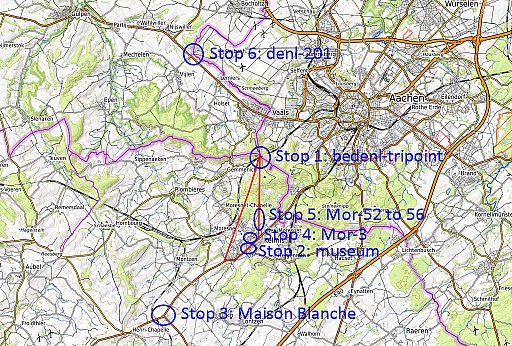
The sub-trips of today.
|
2022-03-08 - 09:06:01 (015-IMG_8915)
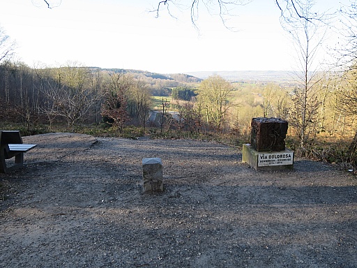
We start at the Vaalserberg where the bedenl-tripoint is. Freezing wind.
This is Moresnet-marker 30.
|
2022-03-08 - 09:06:14 (020-IMG_8916)
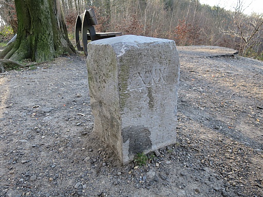
Mor-30
|
2022-03-08 - 09:06:22 (025-IMG_8917)
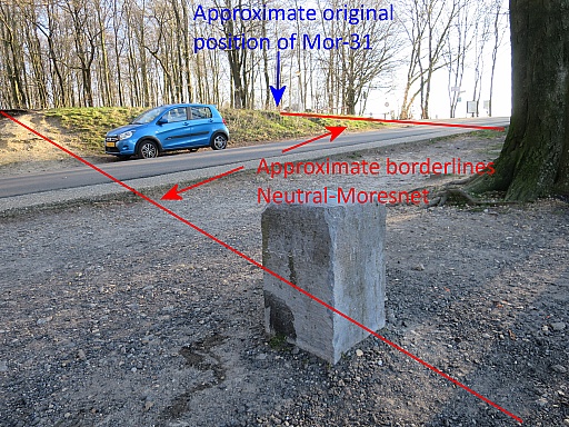
Another perspective with the two Moresnet-borderlines converging towards the tripoint (and once a quadripoint). Mor-31 has disappeared.
|
(029-Possibly-Mor-31-Aafko-Tuin-2011)
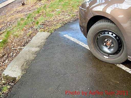
Aafko Tuin shows on this webpage a picture of a horizontal pillar which perhaps might be Mor-31. Not likely but I have to check it.
|
2022-03-08 - 09:08:40 (030-IMG_8918)
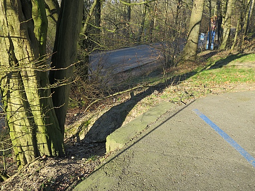
The spot is easily found but
|
2022-03-08 - 09:08:57 (035-IMG_8919)
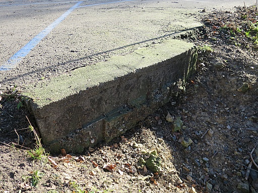
but it is only a concrete reinforcement of the parking-edge.
This is the end of the search for Mor-31, last seen 'in situ' in 2004.
It is believed that Mor-31 was removed or buried underground when the
parking was being asphalted betweeen 2004 and 2008.
|
2022-03-08 - 09:11:37 (040-IMG_8920)
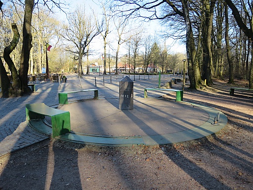
The Bedenl-tripoint.
|
2022-03-08 - 09:13:05 (045-IMG_8921)
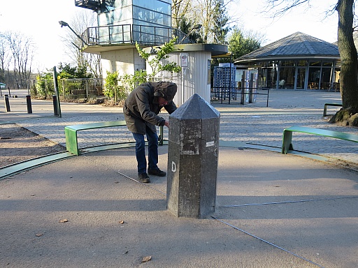
Geert is making detailed pictures of the tripoint-marker. He is in
search of the history of the various markers on the tripoint through
the years, from its early start in the 19th century with wooden markers
until the present. It is a joint research with Boudewijn Palthe (website).
|
(046-EDENL-tripoint-old-postcard-wikimedia)
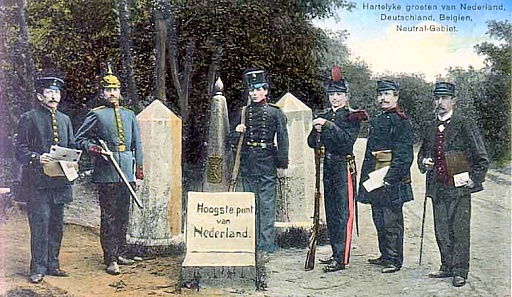
This was the tripoint in the beginning of the 20th century. But this
setting of three markers was relocated in later years 50m to the north
to become the 'touristic tripoint' which still exists.
|
2022-03-08 - 09:15:32 (047-IMG_8922)
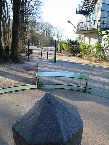
I have a look on the visualisation of the Neutral-Moresnet-borderlines in the pavement and by information-panels. See also this page.
|
(048-IMG_8922-Neutral-Moresnet-borderlines)
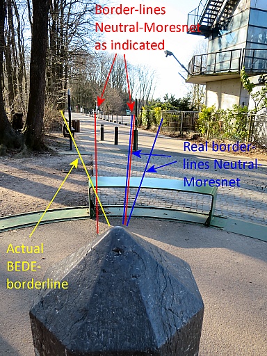
I know the position of the Moresnet-markers 30 (western border) and 31
(eastern border) and discover that there has been a misstake. The
northern point of Neutral-Moresnet was in fact a bit to the right
(west).
|
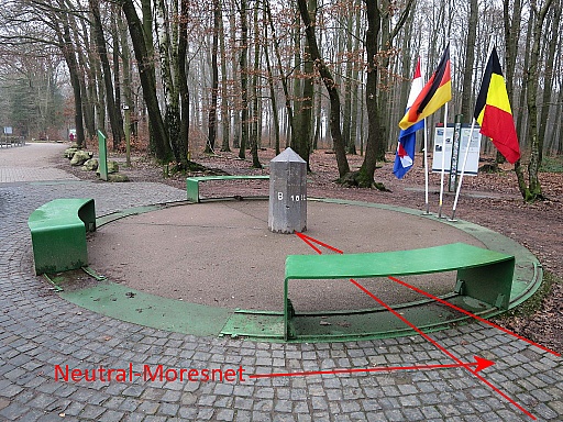
(049-IMG_8322-vs02)
Let's show it on this picture from the trip of 17-12-2021. Neutral-Moresnet as shown in the pavement and by the information panel.
|
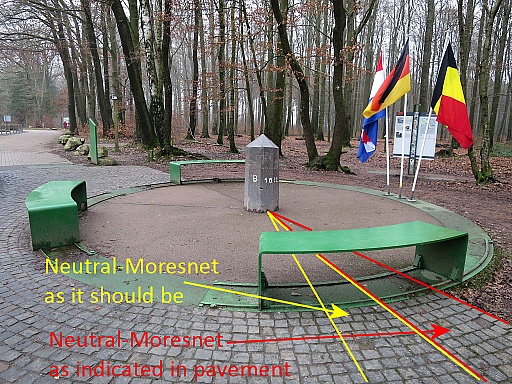
(050-IMG_8322-vs02-with-both-indications)
And this is the correct situation.
|
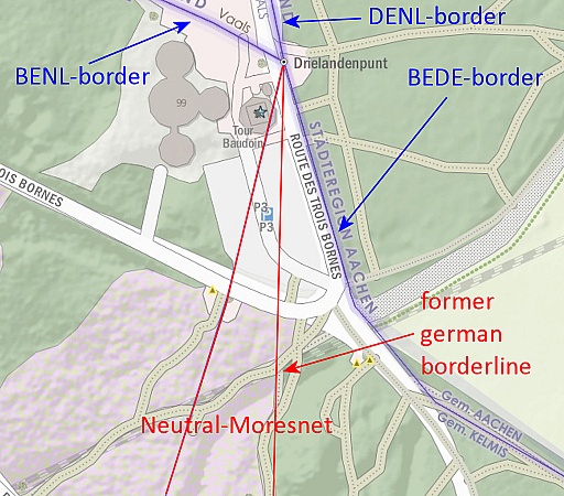
(061-Moresnet-borders-near-bedenl-tp)
To finish: the Neutral-Moresnet borderlines drawn on the Opentopo.nl-map.
|
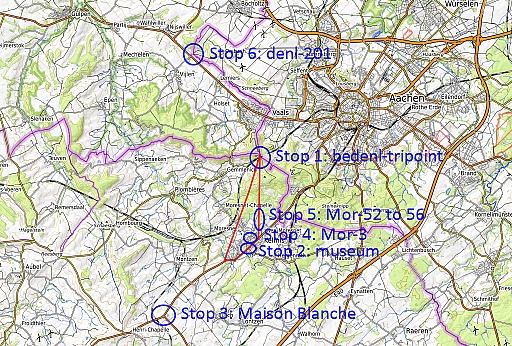
(064-afbeelding-plattegrond-1-stop2)
We drive to stop 2:
|
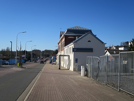
2022-03-08 - 11:09:23 (065-IMG_8931)
the Museum Vieille Montagne in Kelmis. Boudewijn Palthe and Geert
Krijnen have an appointment with Céline Ruess, the director. She shows
them their collection of old postcards of the former quadripint,
important information for their quest. For me she has an old article
about the history of the demarcation of Neutral-Moresnet.
|
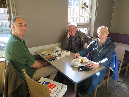
2022-03-08 - 11:31:37 (070-IMG_8932)
Afterwards a coffee with cake to chat and to exchange. From left to
right: Boudewijn - Geert - me. We say goodbye and Geert and I drive
|
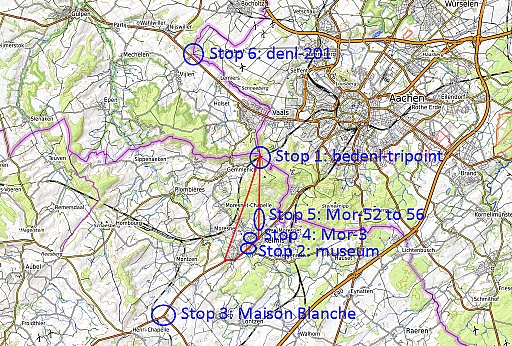
(074-afbeelding-plattegrond-1-stop3)
stop 3: la Maison Blanche.
|
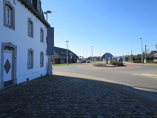
2022-03-08 - 12:10:29 (075-IMG_8935)
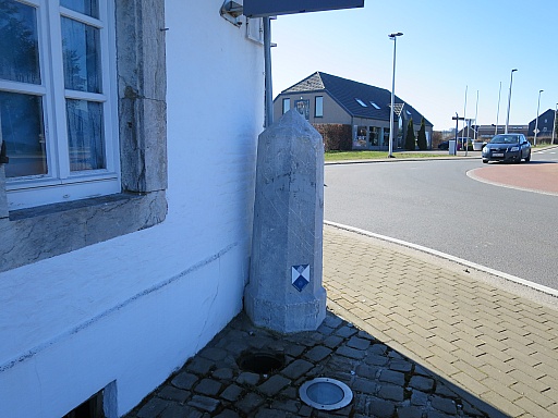
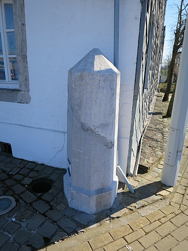
Here we find two markers 187 of the former Belgian-German borderline.
|
2022-03-08 - 12:10:46 (080-IMG_8936)
The first marker
|
2022-03-08 - 12:11:29 (085-IMG_8937)
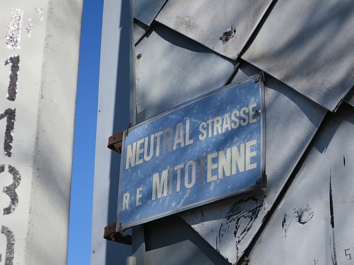
The road going south is called the 'neutral street'.
|
2022-03-08 - 12:12:03 (090-IMG_8938)
On the marker
|
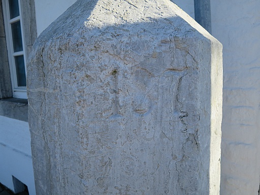
2022-03-08 - 12:12:12 (095-IMG_8939)
the number 187 engraved.
|
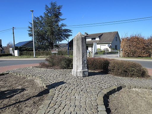
2022-03-08 - 12:12:30 (100-IMG_8940)
In the middle of the roundabout, there is the second one
|
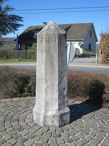
2022-03-08 - 12:12:46 (105-IMG_8941)
with also
|
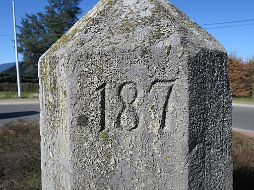
2022-03-08 - 12:13:50 (110-IMG_8942)
no. 187 engraved. The typography and position of the number could help
Boudewijn and Geert to distinguish the three octagonal stone markers at
the current bedenl-tripoint (actual tp and touristic tp).
|
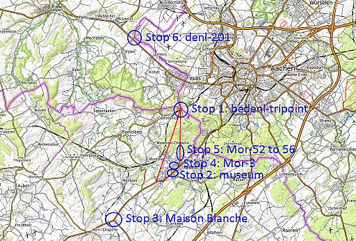
(114-afbeelding-plattegrond-1-stop4)
Driving back to Kelmis to do stop 4:
|
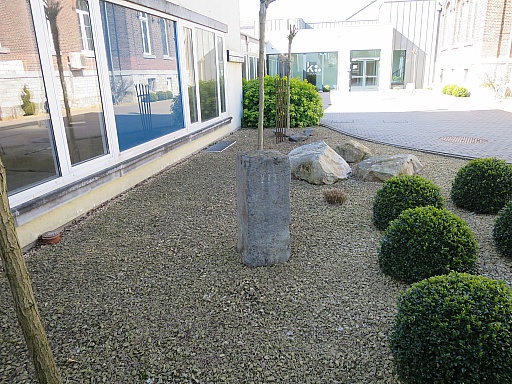
2022-03-08 - 12:30:36 (115-IMG_8944)
the freely accessible courtyard behind the Kelmis-townhall (Kirchstrasse 31) where the relocated Mor-3 has been placed.
|
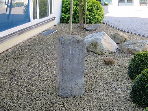
2022-03-08 - 12:30:40 (120-IMG_8945)
Mor-3
|
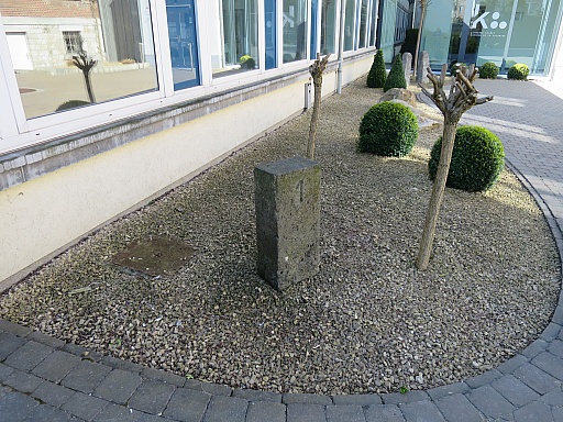
2022-03-08 - 12:31:30 (125-IMG_8946)
Also in the courtyard some other markers
|
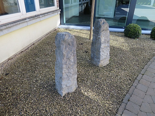
2022-03-08 - 12:31:51 (130-IMG_8948)
of unknown origin.
|
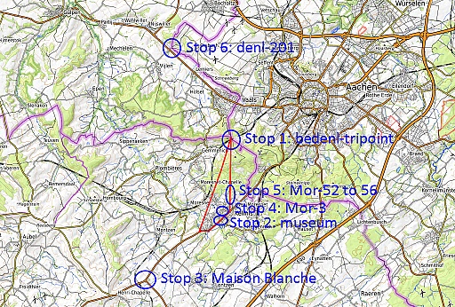
(133-afbeelding-plattegrond-1-stop5)
Next stop is a walk from a parking at the edge of Kelmis.
|
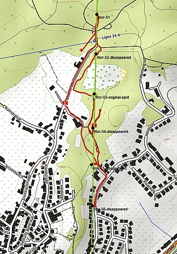
(134-afbeelding-plattegrond-2)
The markers 52-56 are considered to have disappeared (but Mor-53 is in
the museum). The terrain between Mor-52 and Mor-55 was once at the edge
of a sand quarry and it is believed that they were removed because of
that.
|
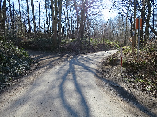
2022-03-08 - 13:08:49 (135-IMG_8949)
I want to visit the original spots (as found on older topographic maps
or estimated) and to make pictures with my white-red pole at the
original spot.
From the parking we have to go more or less straight through the forest.
|
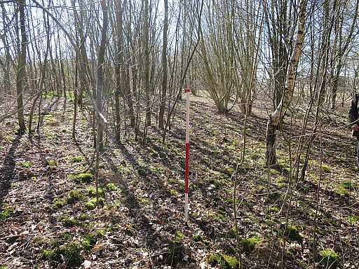
2022-03-08 - 13:12:41 (140-IMG_8952)
This is the spot of Mor-52.
|
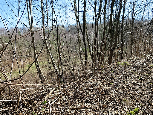
2022-03-08 - 13:15:29 (145-IMG_8954)
A bit further one can see to the left the bottom of the former quarry.
|
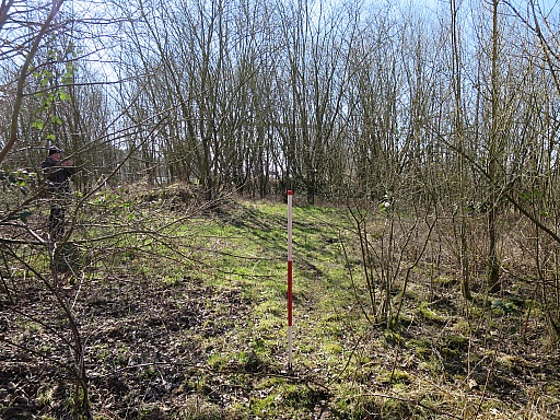
2022-03-08 - 13:21:09 (150-IMG_8957)
This is the spot of Mor-53 (now in the museum).
|
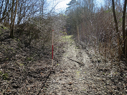
2022-03-08 - 13:27:16 (155-IMG_8959)
The spot of Mor-54
|
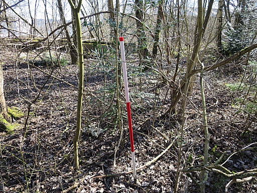
2022-03-08 - 13:38:18 (160-IMG_8963)
Then the spot of Mor-55
|
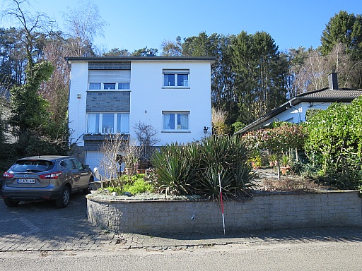
2022-03-08 - 13:43:22 (165-IMG_8965)
Finally the estimated spot of Mor-56, approximately where the house stands.
|
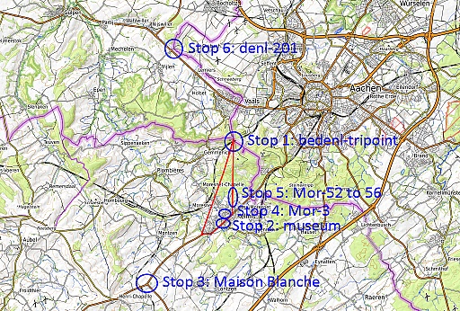
(169-afbeelding-plattegrond-1-stop6)
On our way back home, we make a last stop
|
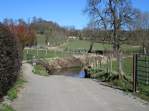
2022-03-08 - 15:09:05 (170-IMG_8966)
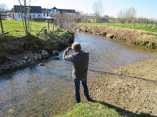
to visit the scenic stream (Selzerbeek) where
|
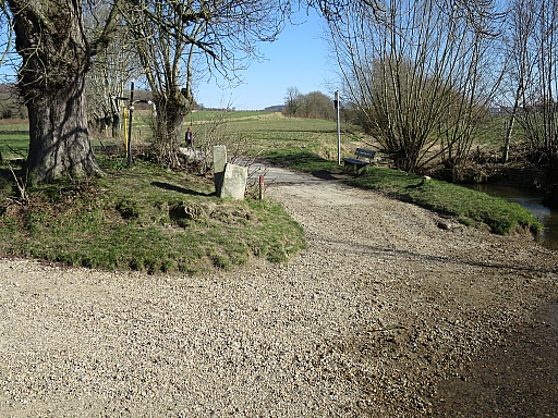
2022-03-08 - 15:10:23 (175-IMG_8967)
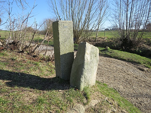
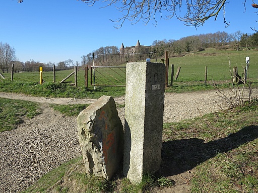
we find the double denl-201 bordermarkers.
|
2022-03-08 - 15:10:42 (180-IMG_8968)
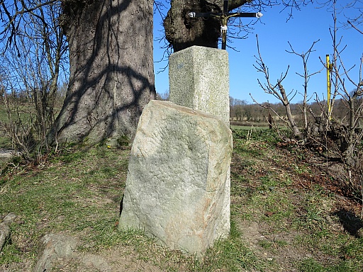
In front of denl-201 there is an old bordermarker of the city of Aachen
|
2022-03-08 - 15:11:00 (185-IMG_8969)
with the engravings of the eagle quite weathered.
|
2022-03-08 - 15:11:20 (190-IMG_8970)
Denl-201
|
2022-03-08 - 15:13:42 (195-IMG_8971)
At the other side of the stream, there is
|
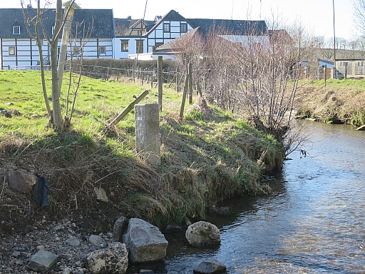
2022-03-08 - 15:13:57 (200-IMG_8972)
the second denl-201 marker.
|
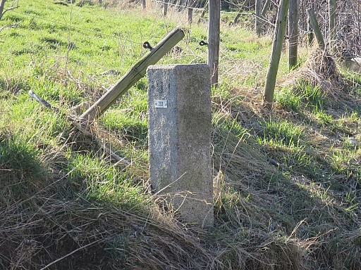
2022-03-08 - 15:14:03 (205-IMG_8973)
Denl-201.
End of our varied multi-stop-trip. Concerning the Moresnet-markers it has been enough for the moment.
|


